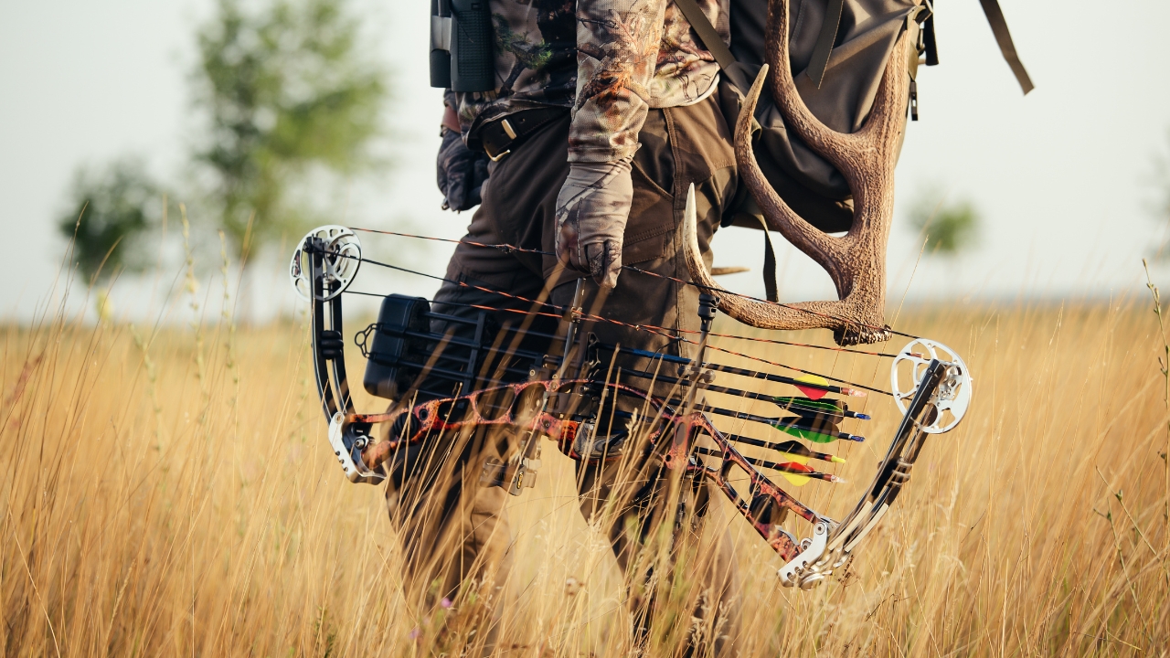
Photo credit: Tima Miroshnichenko/Pexels.com
A lot of hunters talk about public land like it is one big, simple category. It is not. “Public” can mean BLM, National Forest, a state wildlife area, a refuge, a walk-in program on private land, or a state-run access deal with its own rules stacked on top. That is where people get tripped up. They think public access means open access, and those are not always the same thing.
The hunters who move around public ground well usually are not just better woodsmen. They are better at reading maps, signs, access guides, and property-specific rules before the season starts. That matters because the mistake that blows up a hunt is often not bad shooting or bad wind. It is parking in the wrong place, crossing the wrong boundary, assuming a road is open, or treating a walk-in tract like full public ownership. These are the facts that keep people out of trouble and help them hunt smarter.
Public land is not automatically open from every direction

This is one of the biggest misunderstandings in western hunting. A parcel can be public and still be effectively unreachable from where you stand. The Bureau of Land Management says permission must be obtained when crossing private land to get to BLM-administered lands. In other words, you do not get a free pass just because the destination itself is public.
That matters because a lot of hunters look at a map, see a big block of public, and assume access is solved. It is not. You still need a legal route in. Sometimes that means a county road, a signed easement, a designated trailhead, or a walk-in access point. If your route crosses private ground without permission, the fact that your pin drops on public land does not save you.
Corner crossing is a real issue, but it is not a nationwide green light

Corner crossing got a lot more attention after the Tenth Circuit backed the hunters in the Wyoming case, holding that the Unlawful Inclosures Act supported access in that situation. But that does not mean every checkerboard corner in America is now a simple go-ahead. The ruling came out of the Tenth Circuit, and even supporters say there are still practical and legal limits hunters need to understand.
So the smart takeaway is not “corner crossing is legal everywhere now.” The smart takeaway is that the law has shifted in an important western case, but hunters still need to know their state, the circuit they are in, and the exact land status on the ground. This is not something to half-hear on a podcast and then bet your season on.
Roads on the map matter more than roads on the ground
On National Forest land, the Motor Vehicle Use Map is the legal document for where the public can drive. The Forest Service says routes not shown on the MVUM are not open to public motor vehicle travel, and routes may not always be signed on the ground. That means the road that looks drivable and well-used can still be closed to your truck or ATV.
This catches a lot of hunters because they trust tire tracks more than the actual map. That is a mistake. A two-track can look open and still be legally closed, seasonally restricted, or limited to certain vehicle classes. If you are the guy who relies on what “looks right,” you are the guy most likely to end up parked where you should not be or driving farther than the law allows.
BLM ground does not mean drive wherever you want

A lot of hunters talk about BLM like it is open-country freedom with a steering wheel. It is not. The BLM says driving off-road on BLM lands is a violation, and motorized access must be accomplished by an established county road or highway. The agency also tells hunters to keep vehicles on established roads and trails.
That matters most during muddy conditions, antelope hunts, late-season deer, and any time a hunter gets tempted to “just ease over there a little bit.” Cross-country travel might seem harmless in the moment, but it is exactly the sort of thing that gets public-land users hated by land managers and neighboring ranchers. A lot of access headaches start with people treating public dirt like it belongs to them personally.
Some “public hunting” is actually private land with strict access rules
Programs like Montana Block Management, Kansas WIHA, and North Dakota PLOTS are huge opportunities, but they are not the same as federally owned public land. Montana says Block Management is a cooperative program with private landowners. Kansas says WIHA access is limited to the specified period for the property. North Dakota says PLOTS land is open only for public walk-in access for hunting during legal seasons, or as signed.
That means you cannot treat these places like year-round free-for-all ground. These programs exist because landowners agreed to limited terms, not because they gave up control of the property. If the sign says walk-in only, hunt only, certain dates only, or no vehicles, take that seriously. Hunters who ignore those details are usually the ones who help get good access programs tightened up or lost.
“Walk-in only” means more than just parking and strolling in
Hunters sometimes hear walk-in and think it only means no trucks past the sign. But access programs usually mean exactly what they say. North Dakota defines walk-in access as an individual traveling by foot with legal hunting gear. Kansas says WIHA areas are for hunting purposes only and by foot traffic only.
That has real consequences. It means no joyriding to retrieve gear, no scouting with a side-by-side because the field looks empty, and no casual cutting across neighboring land because it shortens the walk. These access programs survive because the rules are clear and landowners can trust that hunters will follow them. Once hunters start bending “walk-in” into something else, everybody loses ground.
Access dates can change by property, not just by season

One of the easiest ways to mess up a hunt is to assume the hunting season dates are the same thing as the access dates. Kansas makes clear that WIHA access is limited to the specified access period for the property, and fall WIHA properties can begin on different dates and end on different dates depending on the tract.
That matters because hunters love routine. They go back to last year’s pin, see the same cover, and assume it is still open the same way. Then they find out the access period shifted, the contract changed, or the tract is no longer open. Public-land hunters who do well year after year usually check the current guide every single season instead of hunting off memory.
Wildlife refuges are not automatically open to hunting

A lot of people hear “refuge” and “public” in the same sentence and assume hunting is part of the deal. It is not automatic. The Fish and Wildlife Service says hunting is permitted only on specified refuge units and within specified limits, and federal rules continue to add or revise access at particular refuges through station-specific regulations.
This is one of those facts that matters even to experienced hunters because refuge systems are patchwork by design. One unit may allow deer and waterfowl, another may allow only certain seasons, and another may be closed entirely. You cannot hunt a refuge just because it is federal ground. You hunt it because that exact refuge, and often that exact unit, has been opened for it.
State wildlife areas often have property-by-property restrictions

Hunters sometimes think state wildlife areas work under one broad statewide rulebook. In reality, many of them are governed property by property. Colorado’s wildlife property regulations show just how specific these can get, including foot-traffic-only rules, designated parking requirements, access closures during parts of the year, and even day-of-week limitations on some properties.
That means the phrase “state wildlife area” does not tell you enough. You need the actual property entry for the place you plan to hunt. A lot of hunters get burned because they know the season and license rules but not the property rules. On public land, the small-print stuff is often what decides whether your morning starts with a clean hunt or a bad conversation at the truck.
Some public hunting access requires a separate permit, not just a hunting license

Texas is a good example of this. TPWD says access to many public hunting properties requires either the Annual Public Hunting Permit or, for certain non-hunting uses, a Limited Public Use Permit. The Annual Public Hunting Permit for 2025–26 is listed at $48 and covers hunting plus other recreational uses on participating lands.
That catches out-of-state hunters and even residents who are used to private land. They buy the hunting license, assume they are covered, and then find out the access itself has another layer. Public access is often built around partnerships, management plans, and controlled pressure. If the agency says a permit is part of access, then that permit is not optional housekeeping. It is part of being there legally.
National Forest access can change fast because of closures and gates
Hunters like to plan months ahead, but access can still shift under them. The Forest Service posts alerts for road work, closures, campground shutdowns, and other conditions that can change how you get into a hunting area. That means the route you scouted in August may not be available in October or November.
This is one reason good public-land hunters check current alerts right before a trip instead of relying on old screenshots. A closed road can add miles, reroute pressure, and completely change where people enter a drainage. It can also force you onto a legal access point you did not plan around. The land may still be huntable, but your original route might be gone for the week you need it.
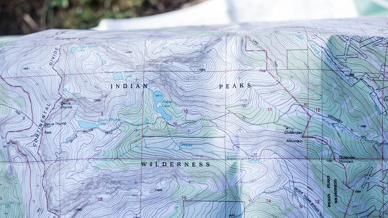
A digital map is helpful, but it is not the same thing as the legal access document

The Forest Service says the MVUM is best used along with a Forest Visitor Map or another detailed map because the MVUM itself is mainly about legal motorized designations. That is a good reminder that no single map solves everything. One map may show property ownership well, another may show topography, and another may control what you can legally drive.
Hunters who get in trouble often rely too hard on one app layer and forget that access questions are layered too. Ownership, road legality, seasonal closures, foot-only zones, and property-specific rules can all live in different places. The hunter who cross-checks them usually moves cleaner and with a lot more confidence than the guy who trusts one pin and one color on a screen.
Landlocked public land is a bigger deal than most hunters realize
OnX’s 2025 impact report notes that corner-locked land is a subtype of landlocked public land, and its broader access work keeps highlighting how much public acreage remains hard or impossible to reach without legal solutions. That matters because hunters often judge a state’s opportunity by raw public acreage totals without asking how much of that land is actually accessible on the ground.
This changes how you should think about hunt planning. Two units can look similar on paper and hunt totally differently depending on practical access. One may have multiple legal entry points and spread hunters out. Another may have big blocks of public that are boxed in by private and pressure everybody into the same corners. Access quality matters almost as much as acreage.
Access programs are renewed and changed more often than hunters think
Montana’s Block Management program is negotiated annually with landowners, and the state publishes a new Hunter Access Guide each year. That is a good reminder that a spot being open last fall does not guarantee it is open this fall.
Hunters get attached to certain walk-in places, especially if they killed there before, but access programs are living agreements. Acreage comes in and out. Rules get tightened. Check-in systems change. Parking areas move. The guys who stay productive on public and access-program land are the ones who treat every season like a fresh set of ground conditions instead of assuming last year’s setup still exists.
Hunting access does not always equal general recreation access

This one surprises people, especially on access-program lands. North Dakota says PLOTS property is open only for public walk-in access for the purpose of hunting during legal hunting seasons, or as signed, and all other activities require written permission from the landowner.
That means you cannot automatically use the place for shed hunting, dog training, hiking, scouting joyrides, or whatever else sounds harmless to you. Public hunting access can be very narrow. It may exist for one specific purpose and one specific window. If hunters start acting like limited-access private land is open to all outdoor use, they are abusing the agreement that made the hunting possible in the first place.
Like The Avid Outdoorsman’s content? Be sure to follow us.
Here’s more from us: