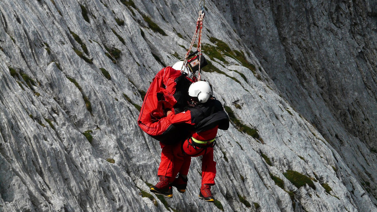
Photo credit: Hans/Pixabay.com
Search-and-rescue calls are up in a lot of wild places, and it isn’t because the mountains suddenly got meaner. It’s because more people are heading off pavement, often with phone-level preparation for country that still plays by old rules. Recent research shows SAR incidents track tightly with visitation—when crowds spike, rescues and fatalities climb with them. National parks are seeing busier trailheads, heavier social-media exposure, and a steady stream of folks learning the hard way that “easy” hikes can turn serious fast.
For hunters and serious backcountry users, that matters. Rising SAR numbers mean stretched teams, slower response in bad weather, and more pressure to “self-rescue” long enough for help to reach you. The regions below are still worth every mile—but you treat them like the rescue helicopter might be a long ways off.
Sierra Nevada high country (Yosemite and neighbors)
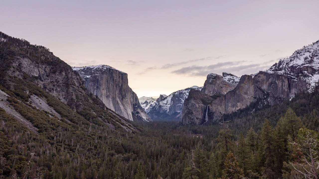
Yosemite averages around 200 SAR incidents a year, with 191 rescues and 16 deaths recorded in 2024 alone—a number Friends of YOSAR says is right in line with recent years. Most of the problems aren’t epic storms; they’re falls, lower-body injuries, dehydration, and people getting in over their heads on wet granite and snow. As overall visitation keeps climbing past 4 million a year, the rescue load follows.
If you’re hunting or packing here, don’t let “national park” lull you. Elevation, exposure, and simple slips burn up a lot more helicopter hours than wildlife attacks. Good route planning, a real map, and legs that are ready for actual vertical keep you from becoming one more dot on YOSAR’s incident map.
Grand Canyon and Arizona canyon country
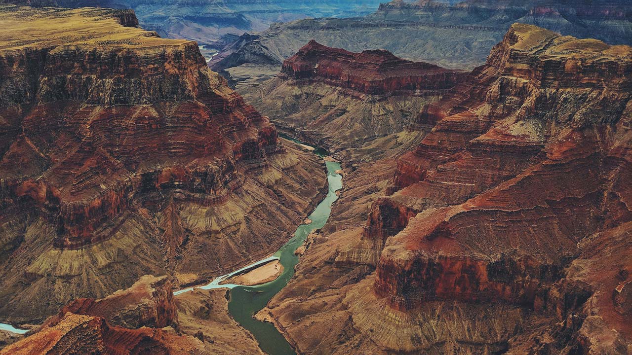
The Grand Canyon consistently ranks at or near the top for total fatalities among U.S. parks, with over 130 deaths from 2007–2023. Heat, steep terrain, and people underestimating the grind of climbing out of the canyon drive a ton of SAR calls. Add flash flood risk and technical terrain in side canyons, and Arizona’s canyon country has quietly become one of the busiest rescue theaters in the system.
For anyone hiking or hunting those rims and side drainages, water and turnaround times are survival gear, not “extras.” Rangers will tell you most rescues are preventable with better pacing, realistic route choices, and not chasing social-media shots into terrain you can’t reverse once you’re tired.
Utah’s red-rock parks and slot canyons
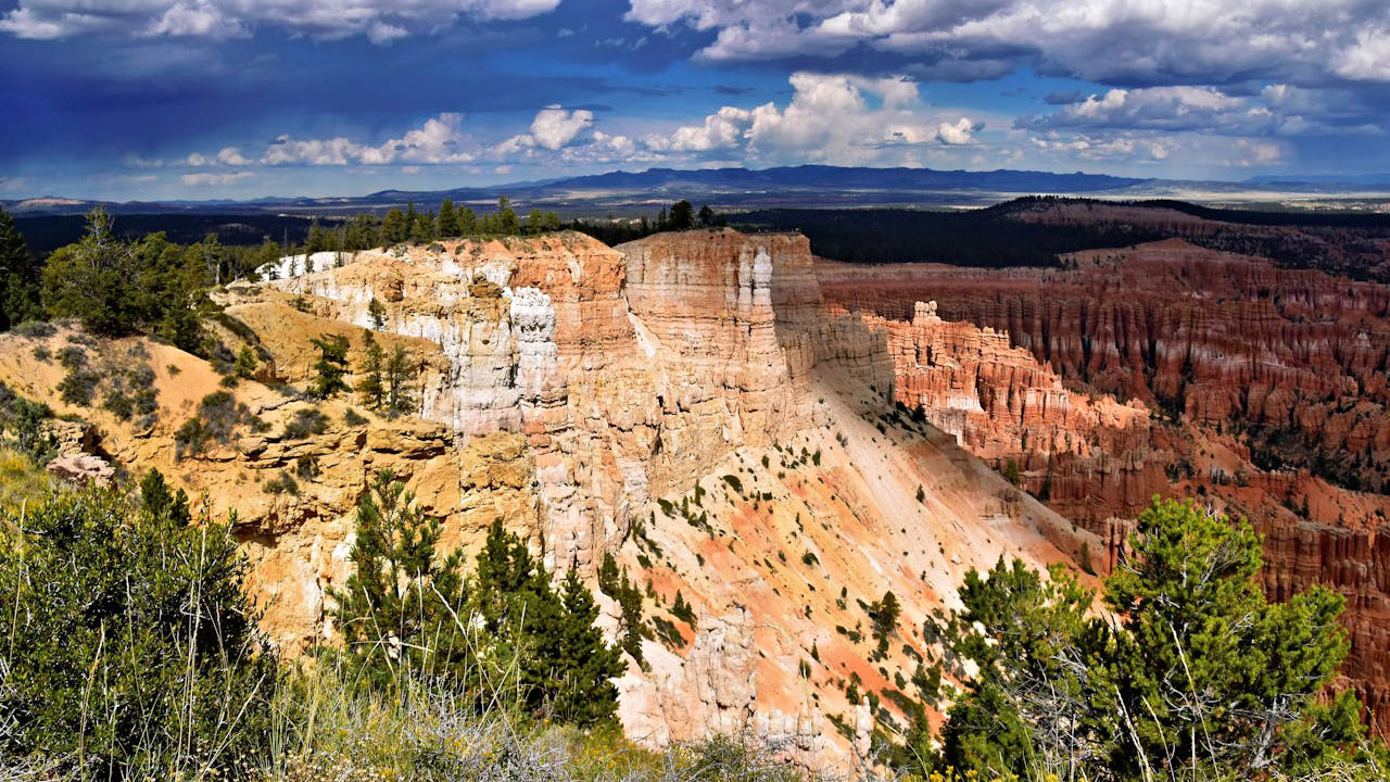
Zion, Arches, Canyonlands, and Capitol Reef all show up near the top of “dangerous parks” lists, not because they’re death traps but because they mix huge crowds with technical terrain: narrow canyons, exposed ledges, and flash-flood drainages. As visitation in Utah’s “Mighty Five” has exploded, SAR calls tied to falls, stuck canyoneers, and flood events have climbed with it.
For backcountry deer or elk hunters working off those rims, you’re often one step from the same hazards. A simple wrong move can turn into a technical rescue. Good weather intel, a hard line on storm forecasts, and actual canyoneering skills before dropping into tight slots are what separate an epic hunt from a long night waiting on ropes.
Colorado’s high Rockies and 14ers
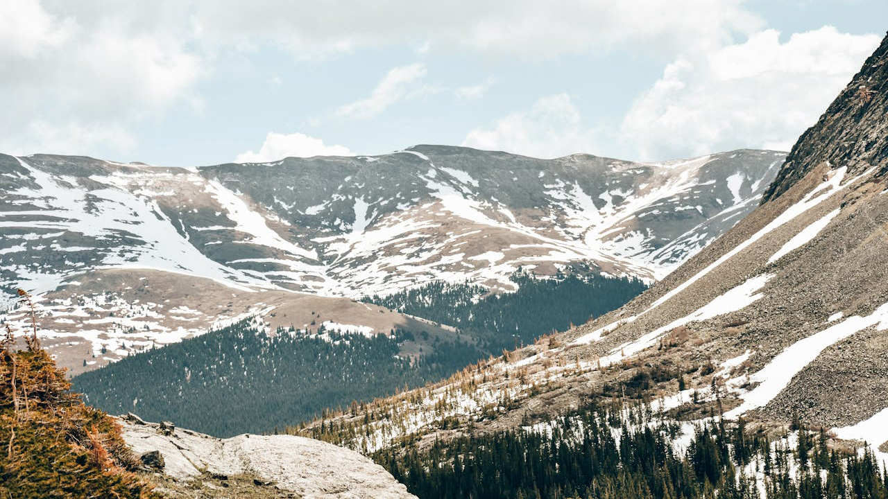
Colorado’s 14,000-foot peaks have seen surging traffic, and with it, surging rescues. SAR analyses show incidents cluster around altitude sickness, falls on loose rock, sudden storms, and people pushing above their fitness level. The same counties hosting the 14er crowds are also where a lot of elk hunters and backcountry skiers disappear into timber and avalanche zones.
The pattern is simple: quick-moving weather, thin air, and long, complex routes mean SAR teams work hard here every fall and summer. If you’re chasing elk near treeline, you build in weather contingencies, carry real insulation and comms, and assume that if you twist a knee in a scree chute, it might be hours—not minutes—before anyone can get a litter to you.
Pacific Northwest Cascades (Rainier, North Cascades, Olympics)
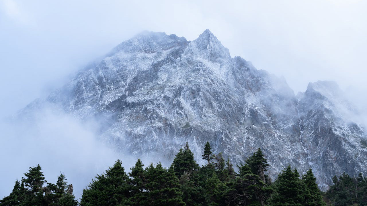
The Cascades and Olympics combine glaciated peaks, crevasse fields, steep forest trails, and a wet climate that can turn easy ground slick in minutes. Mount Rainier and other Northwest parks show high SAR and fatality rates once you adjust for visitation, with falls, hypothermia, and climbing incidents leading the list.
Add in river crossings, snow bridges, and complex terrain above timberline, and it’s no surprise local SAR teams stay busy. Hunters and hikers sharing those basins with climbers need true mountain sense—not just GPS tracks. Knowing when to call off a ridge push, turn around at fog, or bypass a sketchy snowfield is what keeps you from needing a helicopter ride out.
Alaska frontcountry and near-road wilderness
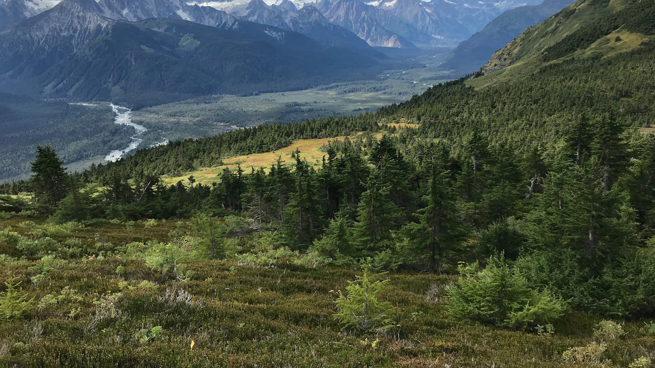
Alaska doesn’t need much introduction when it comes to rescue work. Vast terrain, long distances, cold water, and quickly changing weather mean that when things go sideways, they go sideways big. National park data and state reports both point to a steady load of rescues tied to boat mishaps, river crossings, and backcountry travel—not just dramatic bear encounters.
The takeaway for hunters is that “close to the road” in Alaska can still mean hours from real help once you factor in weather, aircraft availability, and daylight. Float plans, redundant comms (InReach, PLB, or both), and real cold-water gear matter as much as your rifle choice.
White Mountains of New Hampshire

New Hampshire’s White Mountains are infamous in SAR circles. Steep, rocky trails, fast weather changes, and a lot of underprepared hikers led the state to start billing some “negligent” parties for rescue costs. The Presidential Range is particularly nasty when conditions turn—fog, wind, and exposure kill people here every year despite relatively short trail distances.
For Eastern hunters and hikers, the Whites are a reminder that you don’t need Western altitude to be in serious mountain country. Cotton kills, forecasts matter, and once you’re above treeline, retreat options can get thin. Local rescue teams will tell you: the number-one fix is brutally honest self-assessment before you leave the parking lot.
Greater Yellowstone and Teton country (Wyoming–Montana)
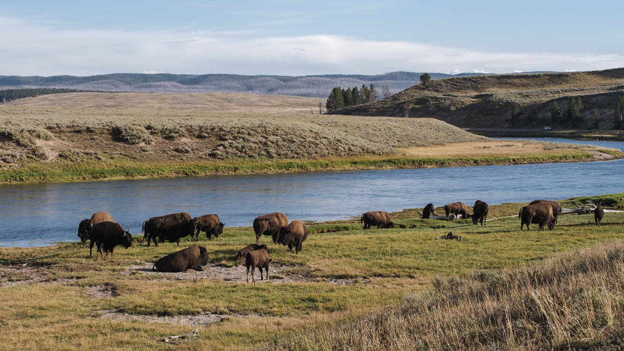
Yellowstone, Grand Teton, and surrounding national forests rack up a mix of rescues: stock wrecks, backcountry injuries, lost hikers, and climbers in trouble. Historic SAR and mortality work shows this ecosystem as one of the busiest for serious incidents when you consider both visitors and terrain.
Throw in big predators, cold rivers, and shoulder-season snow, and you’ve got a region where “simple” off-trail travel can turn complex. Elk and deer hunters working off the grid here should plan like every downed animal might require an overnight, and every creek crossing could be the one that turns into a hypothermia case if something goes wrong.
Desert Southwest water and lake corridors (Lake Mead and the Colorado River)
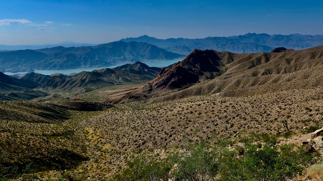
Lake Mead National Recreation Area leads the pack for total national-park deaths in recent analyses, with around 200 fatalities from 2007–2023—many tied to drownings and heat. The broader Colorado River corridor stacks similar problems: boat mishaps, heat exhaustion, and hikers underestimating the cost of climbing back out of canyons.
Hunters and anglers working these zones need to think like river guides: PFDs that actually get worn, conservative calls on wind and monsoon forecasts, and a hard line on hydration and shade. Heat knocks people down fast, and SAR teams here spend a lot more time hauling exhausted folks up than fighting wildlife.
Smokies and Southern Appalachians
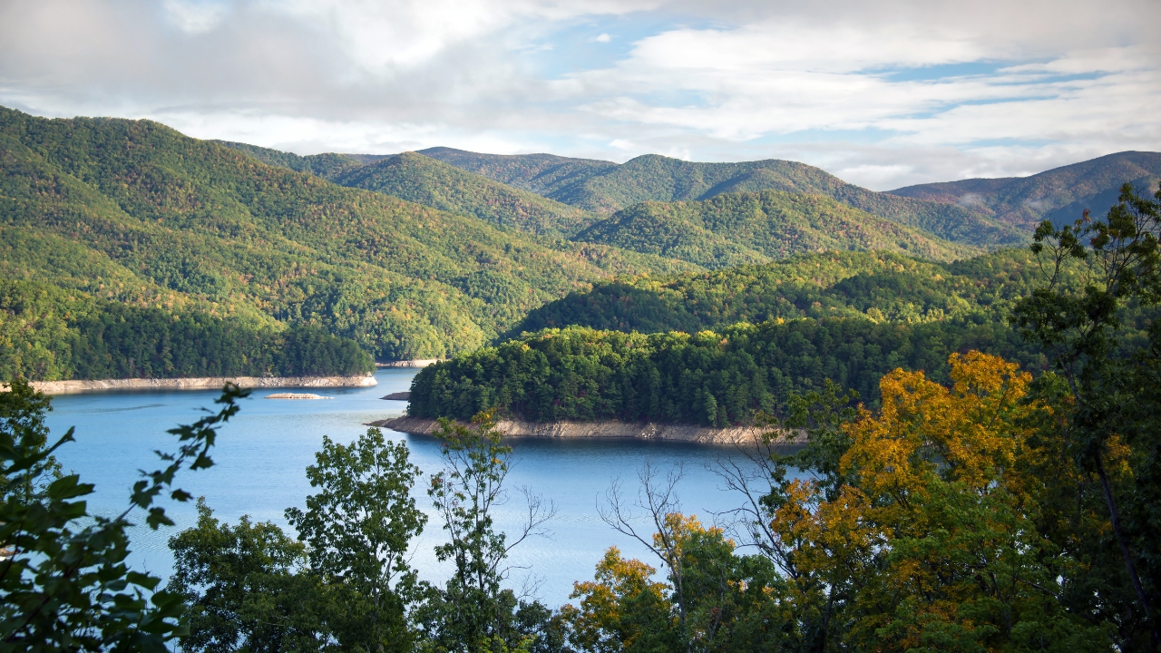
Great Smoky Mountains National Park is one of the most-visited parks in the system, and high visitation plus steep, forested terrain means steady SAR work: lost hikers, twisted ankles on rooty trails, sudden weather shifts, and water incidents. The broader Southern Appalachian belt—from North Carolina and Tennessee into Virginia and beyond—sees similar patterns on state and national forest ground.
For hunters, that plays out as slick leaves on steep slopes, fog that eats visibility, and long hauls back to trailheads. GPS is great, but these hills still reward the old skills: map, compass, and an honest read on how quickly conditions can turn ugly in a rhododendron-choked draw.
Northern Rockies “everyday backcountry” (Idaho and Montana timber country)
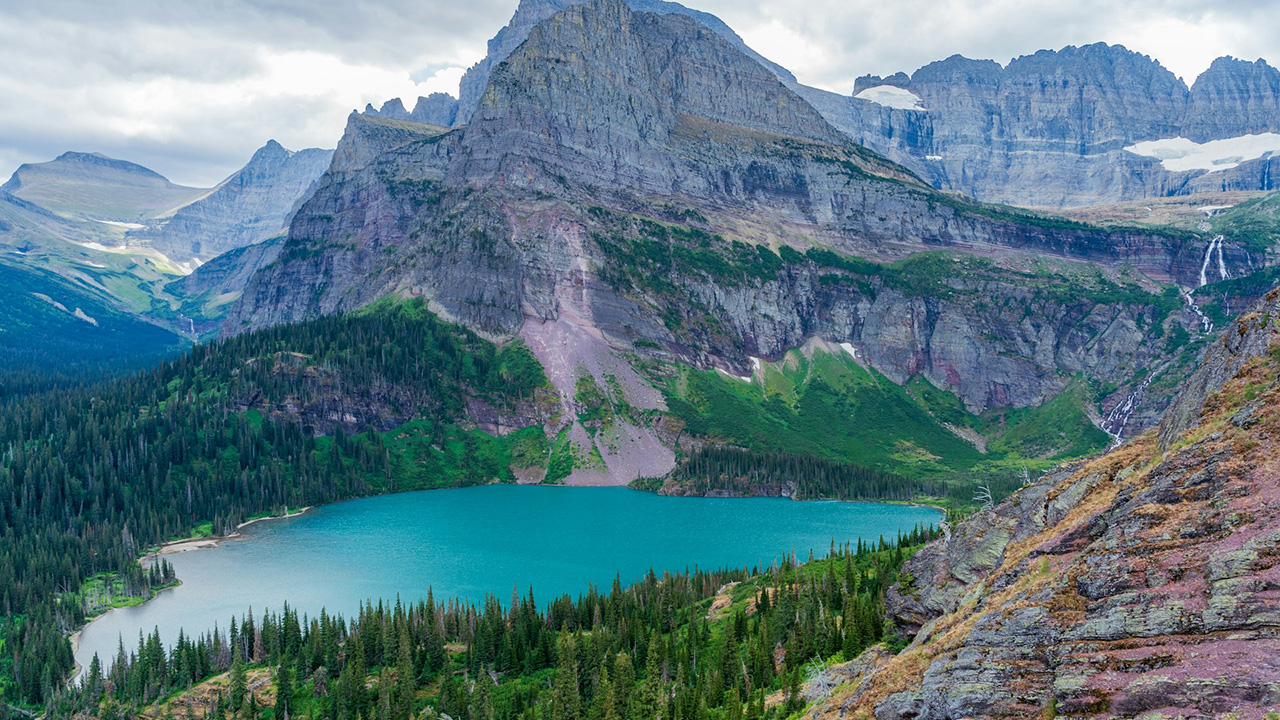
Not every rescue happens in a famous park. Northern Rockies states log plenty of SAR calls in plain old timber country—ATV rollovers, heart attacks, falls in deadfall, and hunters who underestimate how far they’ve pushed into big, steep basins. Studies showing SAR increasing alongside general recreation apply here just as much as in the marquee parks.
The lesson is simple: if you can’t walk yourself out on a bad ankle, you need a plan that doesn’t rely on getting lucky. Tell someone your route, carry comms that work without bars, and build enough margin into your day that you’re not still picking downhill lines with a headlamp and dead legs.
Hawaii’s cliffs, coasts, and volcanic terrain
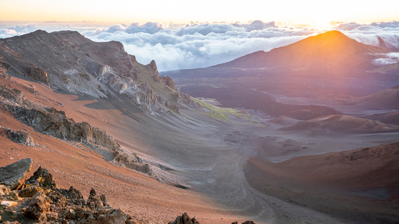
Hawaii’s parks and state lands see a steady stream of rescues tied to coastal cliffs, lava fields, and sudden weather shifts. National mortality numbers show falls and drownings as leading killers in parks overall, and Hawaii’s mix of big surf, wet rock, and exposed ridges fits that profile perfectly.
For anyone chasing pigs, goats, or just views here, the big risks aren’t sharks or lava—it’s footing, rogue waves, and overconfidence. Solid footwear, a conservative approach to ocean-adjacent trails, and refusing to push sketchy “locals-only” routes when conditions are off will do more for you than any gadget.
Like The Avid Outdoorsman’s content? Subscribe to our newsletter so you never miss an article.
Here’s more from us: