Photo credit: Theavidoutdoorsman.com
It doesn’t take much to sour a good bowhunt. One minute you’re eased up a tree with a steady wind and a clear lane, and the next you’re staring at a badge and wondering how your evening just turned into a ticket.
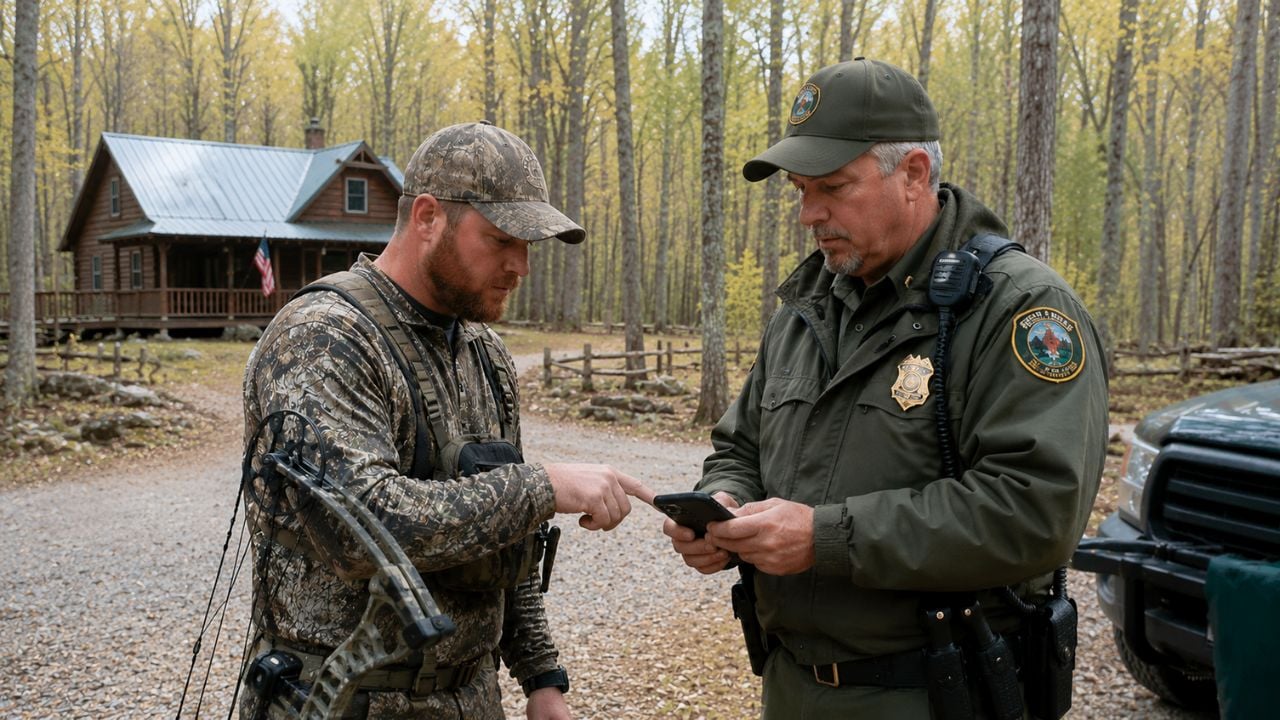
That’s what happened to a public-land bowhunter after a warden contacted him near the edge of a mixed-use area—part timber, part old field, with a few houses sprinkled along the county road. The warden believed the hunter was inside the no-hunting buffer around a nearby home, and the citation followed right there in the leaves.
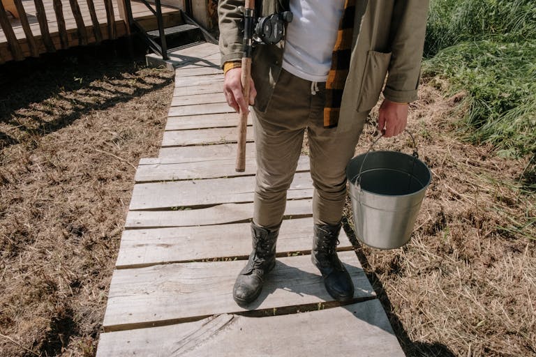
A short walk from a stand to a citation
The hunter had slipped in well before prime movement and set up on a travel corridor that funneled deer between bedding cover and a cut cornfield. It was one of those spots that looks “too close” on a quick glance because you can see a roofline through the trees, but everything’s distorted in the woods—angles, elevation, and distance.
According to the hunter, the warden approached after observing him for a bit, then pointed out the dwelling and referenced the state’s setback requirement. Most places have some version of it, often written as a minimum distance from an occupied structure unless you have written permission. It’s meant to keep arrows and bullets away from homes, and it’s one of those rules that can be enforced with zero tolerance.
Setback laws aren’t just “common sense”—they’re measurable
Where hunters get in trouble is assuming the setback is based on what “feels” safe. The law isn’t written in feelings. It’s written in feet, yards, or meters. If the rule says 500 feet, 300 yards, or 150 yards, it doesn’t matter if you’re shooting into a hillside with the safest backstop on the planet—you’re either outside that line or you’re not.
The warden’s call appeared to be based on visual estimation and the general location of the stand relative to the house. That’s not unusual in the field, especially when a structure is partially hidden by trees and you’re trying to make a quick decision. But estimation cuts both ways, and it can be wrong by a lot when terrain folds and timber lines play tricks on you.
GPS tracks and pins changed the math
After the citation, the hunter did what a lot of us would do if we were confident in our setup: he went back to the numbers. He pulled up his mapping app—one of the common ones hunters use for property lines and waypoints—and looked at the stand pin, his access route, and the dwelling location.
That’s when the situation got interesting. The distance measurement—drawn from the stand location to the nearest part of the dwelling—showed he wasn’t flirting with the buffer at all. He was well beyond it, roughly 600 feet past the required setback. Not 60 feet. Not “a little outside.” Six hundred.
On top of that, he had time-stamped track data from his walk in, plus the saved waypoint where he’d hung his set. That’s the kind of digital breadcrumb trail that’s hard to argue with, especially when it’s consistent across multiple map layers and satellite imagery.
How this kind of mistake happens in the woods
People hear “GPS” and assume it’s perfect, and people hear “warden” and assume the call is always airtight. Real life is messier. Handheld and phone GPS can drift under thick canopy. House icons on some maps aren’t always placed exactly on the structure. And a warden standing on a two-track looking through trees may be eyeballing a roof that’s actually farther away than it appears.
There’s also the human factor: when a complaint comes in—especially one involving “hunting near my house”—everyone’s antenna goes up. Wardens have to treat safety complaints seriously. But “seriously” shouldn’t mean “guess and write.” If the law is based on a measurable distance, it deserves a measured check when practical.
The hunter’s documentation didn’t just give him confidence. It gave him a clean way to contest the citation without turning it into a personal argument in the field.
What other hunters and landowners latched onto
Talk to enough hunters and rural homeowners and you’ll hear two completely different fears. Hunters worry about getting hemmed up over a technical call or a boundary assumption. Landowners worry about someone slinging arrows or firing rounds anywhere near kids, pets, and barns.
Most folks looking at this situation zeroed in on proof and process. Hunters emphasized saving waypoints, taking screenshots of distance tools, and dropping pins on stands and blinds before season. Landowners tended to focus on visibility—how close “looks close” from a porch—and why they want wardens to respond fast when they feel uneasy.
Both sides agreed on one thing: arguing about it in the moment rarely helps. A calm interaction, clear documentation, and letting the system do what it’s supposed to do is usually the best path.
The practical lessons for anyone hunting near homes
If you hunt public ground that butts up to private parcels and rural subdivisions, treat setback compliance like you treat a tag in your pocket—verify it before you climb. Don’t rely on stepping it off or eyeballing it from a trail. Use a mapping app, drop a pin where you plan to sit, and measure to the nearest structure.
Also, understand what counts as a “dwelling” where you live. Some states define it as an occupied residence; others include outbuildings or any structure used for lodging. And the “setback” might be different for archery vs. firearms, or different on public land vs. private land. Those details matter when someone decides to call it in.
Finally, keep your hunt defensible even when you’re legal. Pick a shot direction that makes sense, keep a solid backstop, and avoid setting up where you’re silhouetted against someone’s backyard. Being right on the map is good. Being smart in the woods is better.
At the end of the day, this was a reminder that the tape measure matters. When a regulation is written in feet, it should be enforced in feet—and hunters who take the time to document their setups are in a much better position when a bad estimate turns into a bad ticket.
Like The Avid Outdoorsman’s content? Be sure to follow us.
Here’s more from us: